OSI Discovery Map 37 - Laminated (Part of Galway & Mayo)(1:50,000)
Ordnance Survey Map Sheet 37 Laminated | Part of Galway and Mayo
Map includes:
- Clifden Cycle Route
- Connemara National Park | Páirc Náisiúnta Chonamara
- Diamond Hill Loop
- Doo Lough | Dúloch
- Inishbofin | Inis Bó Finne
- Inishbofin Loop
- Inishturk | Inis Toirc
- Inishturk Loop
- Killary Harbour | An Caoláire Rua
- Kylemore Lough | Loch na Coille Móire
- Lough Inagh | Loch Eidhneach
- Louisburgh Cycle Route (part of)
- Maumturk Mountains | Sléibhte Mhám Toirc
- Mweel Rea Mountains | Sléibhte Cnoc Maol Réidh
- Sheefry Hills | Cnoic Shíofra
- Twelve Pins | Beanna Beola
- Western Way | Slí an Iarthair (Part of)
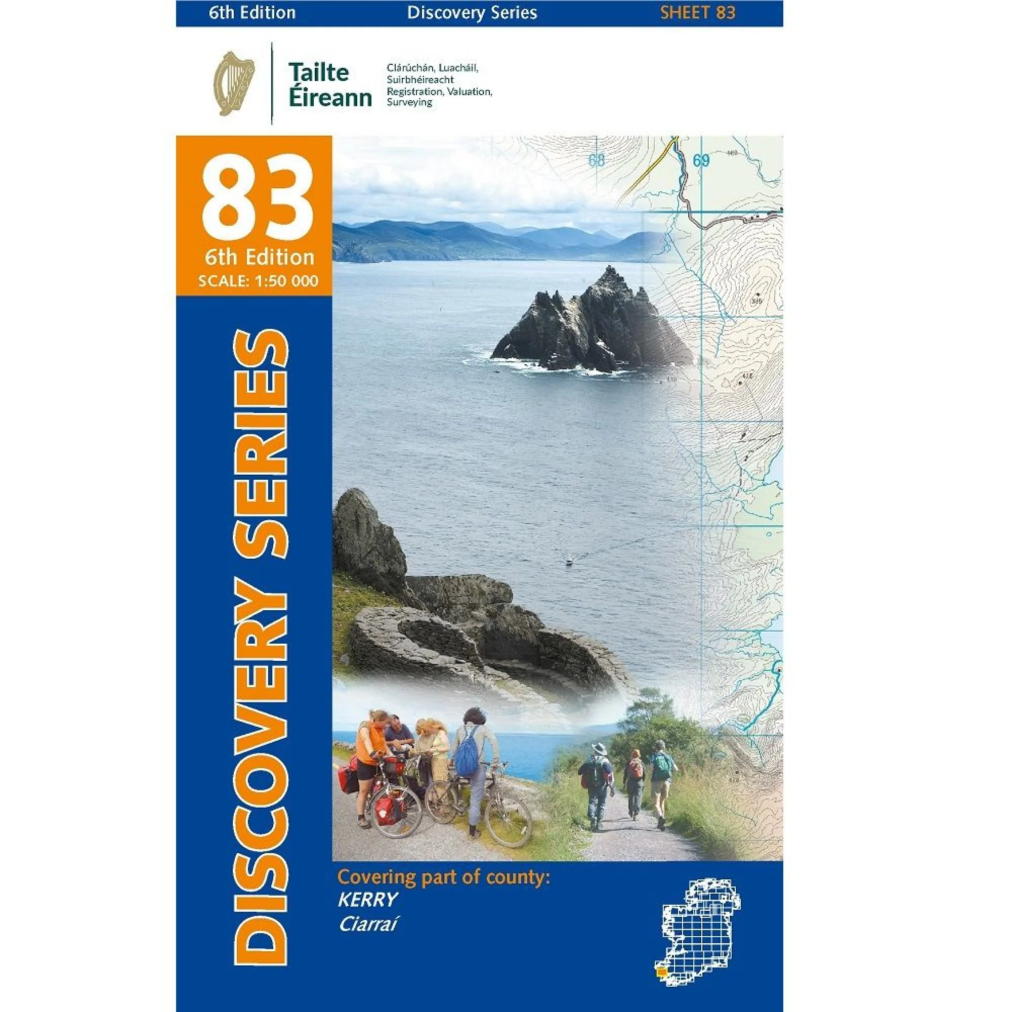
Discovery maps are produced at a scale of 1:50,000 (or 2cm on paper equals 1 kilometer on the ground). Each Discovery Sheet covers an area of 40km x 30km surface area (with the exception of several portrait-format sheets, which are 42km x 32km). There are 93 sheets in the series; 75 are produced by Ordnance Survey Ireland, and 18 by Ordnance Survey Northern Ireland. The maps produced by Ordnance Survey Northern Ireland are called the Discoverer Series.
This is a comprehensive series of feature-rich maps which show detailed landscape information, like rivers, lakes, contours and many townland names. The Discovery Series is designed primarily for tourist and leisure activities; these maps are the preferred choice for hill walkers and those in pursuit of the great outdoors. It is also an ideal reference for location-focused business use, in pocket-friendly folded form or as a wall-mounted reference.
Check out our waterproof map cases and dry bags to keep your gear safe and dry during the lovely Irish rain!
OSI Discovery Map 37 Laminated Part of Galway & Mayo 1:50,000 OSI37LF
Product Information
Product Information
Shipping & Returns
Shipping & Returns
Description
Ordnance Survey Map Sheet 37 Laminated | Part of Galway and Mayo
Map includes:
- Clifden Cycle Route
- Connemara National Park | Páirc Náisiúnta Chonamara
- Diamond Hill Loop
- Doo Lough | Dúloch
- Inishbofin | Inis Bó Finne
- Inishbofin Loop
- Inishturk | Inis Toirc
- Inishturk Loop
- Killary Harbour | An Caoláire Rua
- Kylemore Lough | Loch na Coille Móire
- Lough Inagh | Loch Eidhneach
- Louisburgh Cycle Route (part of)
- Maumturk Mountains | Sléibhte Mhám Toirc
- Mweel Rea Mountains | Sléibhte Cnoc Maol Réidh
- Sheefry Hills | Cnoic Shíofra
- Twelve Pins | Beanna Beola
- Western Way | Slí an Iarthair (Part of)
Discovery maps are produced at a scale of 1:50,000 (or 2cm on paper equals 1 kilometer on the ground). Each Discovery Sheet covers an area of 40km x 30km surface area (with the exception of several portrait-format sheets, which are 42km x 32km). There are 93 sheets in the series; 75 are produced by Ordnance Survey Ireland, and 18 by Ordnance Survey Northern Ireland. The maps produced by Ordnance Survey Northern Ireland are called the Discoverer Series.
This is a comprehensive series of feature-rich maps which show detailed landscape information, like rivers, lakes, contours and many townland names. The Discovery Series is designed primarily for tourist and leisure activities; these maps are the preferred choice for hill walkers and those in pursuit of the great outdoors. It is also an ideal reference for location-focused business use, in pocket-friendly folded form or as a wall-mounted reference.
Check out our waterproof map cases and dry bags to keep your gear safe and dry during the lovely Irish rain!
OSI Discovery Map 37 Laminated Part of Galway & Mayo 1:50,000 OSI37LF